


NISAR: Revolutionizing Earth Observation Through International Collaboration

Introduction
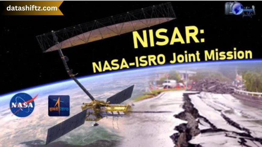
The NASA-ISRO Synthetic Aperture Radar (NISAR) mission is a groundbreaking Earth observation satellite project jointly developed by the National Aeronautics and Space Administration (NASA) of the United States and the Indian Space Research Organisation (ISRO). Slated for launch in 2025, NISAR is poised to become one of the most powerful Earth-monitoring satellites ever constructed. With its innovative use of dual-frequency synthetic aperture radar, it aims to track changes in Earth's land and ice surfaces with unparalleled precision.
In this comprehensive blog post, we will explore the objectives, design, significance, scientific goals, and collaborative framework of the NISAR mission. We will also examine its applications across sectors such as agriculture, disaster management, climate change monitoring, and more.
What is NISAR?
NISAR stands for NASA-ISRO Synthetic Aperture Radar, a first-of-its-kind satellite equipped with advanced radar imaging technologies capable of observing Earth’s surface in extraordinary detail. Unlike traditional satellites, NISAR will operate with dual-frequency L-band and S-band radar, allowing it to study a variety of terrains, vegetation, ice sheets, and tectonic activity.
Key Features of NISAR
-
Dual-band radar imaging (L and S bands)
-
Polarimetric capabilities for accurate surface characterization
-
24-day repeat orbit for consistent monitoring
-
Designed for a minimum mission life of 3 years
NASA and ISRO Partnership
The collaboration between NASA and ISRO on the NISAR mission represents a significant diplomatic and scientific milestone. Both space agencies are contributing unique components to the satellite:
NASA vs. ISRO Contributions to NISAR
| Component/Responsibility | NASA Contribution | ISRO Contribution |
|---|---|---|
| Radar Technology | L-band SAR (Synthetic Aperture Radar) | S-band SAR |
| Launch | — | GSLV Mk II rocket from Sriharikota |
| Satellite Bus | — | Provided by ISRO |
| Engineering and Integration | L-band radar integration and testing | Satellite assembly and final integration |
| Mission Operations | Shared responsibilities | Shared responsibilities |
Scientific Objectives of NISAR
NISAR is not just a satellite—it is a science mission aiming to provide a deeper understanding of Earth's dynamic systems. The scientific community is particularly interested in its potential to address critical questions across the following domains:
Core Scientific Goals
-
Glacial and Ice Sheet Dynamics
Measure the movement and thickness changes of glaciers and polar ice sheets to assess sea-level rise. -
Tectonic Plate Shifts and Earthquakes
Monitor minute movements in Earth’s crust, enhancing our ability to predict seismic activity. -
Forest Biomass Estimation
Support carbon accounting and climate models by tracking forest density and changes. -
Agricultural Monitoring
Provide vital data on soil moisture, crop health, and planting patterns. -
Disaster Response
Deliver real-time updates on floods, landslides, and oil spills for quicker emergency response.
Technical Specifications of NISAR
To understand the satellite’s power, let’s look at its core technical parameters:
NISAR Technical Details
| Parameter | Specification |
|---|---|
| Mission Type | Earth Observation |
| Launch Date (Planned) | Early 2025 |
| Launch Vehicle | ISRO’s GSLV Mk II |
| Orbit | Sun-synchronous orbit (~747 km altitude) |
| Radar Bands | L-band (NASA) and S-band (ISRO) |
| Swath Width | 240 km (approx.) |
| Repeat Cycle | 12 and 24 days |
| Mission Duration | Minimum 3 years |
Applications of NISAR in Real Life
NISAR’s high-resolution imaging and global coverage can provide a host of practical applications in India and globally.
Sector-wise Applications of NISAR
| Sector | Application |
|---|---|
| Agriculture | Crop health monitoring, soil moisture tracking |
| Disaster Management | Flood mapping, landslide detection, post-disaster assessment |
| Forestry | Forest cover and biomass estimation |
| Urban Planning | Infrastructure monitoring and land use mapping |
| Climate Research | Glacial melt tracking, sea-level rise projections |
| Geology | Earthquake risk zones, tectonic studies |
NISAR’s Role in Climate Change Monitoring
One of NISAR’s most impactful applications will be in monitoring climate change. By providing frequent and high-resolution data, the satellite will help scientists observe:
-
Retreating glaciers
-
Thawing permafrost
-
Changing water cycles
-
Vegetation degradation
-
Carbon emission hot spots
These observations are critical for governments, NGOs, and international agencies aiming to meet climate goals under the Paris Agreement and SDG 13 (Climate Action).
Benefits of NISAR for India
India stands to gain immensely from the NISAR mission. Here’s how:
-
Advanced Agriculture Monitoring – Improved crop forecasting and drought prediction.
-
Flood Forecasting and Management – Real-time flood mapping in vulnerable states.
-
Forest Resource Management – Better control over deforestation and illegal logging.
-
Disaster Preparedness – Fast and accurate data for cyclone-prone and earthquake-prone regions.
-
Research & Development – Boost to scientific capabilities and academic research.
NISAR Launch and Timeline
The NISAR satellite is currently undergoing final integration and testing in both the U.S. and India. As of mid-2025, the following timeline holds:
Timeline of Major Milestones
| Event | Date / Status |
|---|---|
| Concept Agreement | Signed in 2014 |
| Radar Assembly and Testing | Completed by NASA in 2023 |
| ISRO Bus Assembly | Completed in early 2024 |
| Final Integration | Mid-to-late 2024 |
| Planned Launch | Early 2025 |
| Operational Status | Expected mid-2025 |
Future Vision and International Impact
With NISAR, India and the U.S. are not just collaborating for mutual benefit—they are contributing to a global scientific commons. The data generated by NISAR will be freely available to scientists and researchers worldwide.
Expected Global Outcomes
-
Enhanced international disaster relief coordination
-
Strengthened Earth System models
-
Improved weather and agricultural forecasts
-
New technologies in radar engineering and satellite data analytics
-
Creation of new job sectors in space tech and AI-based geospatial analysis
Conclusion
NISAR is more than just a space mission—it’s a symbol of collaboration, innovation, and environmental responsibility. By merging the technological capabilities of NASA and ISRO, it promises to provide actionable data that can save lives, protect the environment, and shape global policy decisions. Whether it’s farmers planning their crops or scientists modeling sea-level rise, NISAR is set to become an indispensable tool in our understanding of the dynamic Earth.
As the countdown to the 2025 launch begins, NISAR stands as a beacon of hope in addressing some of the most critical challenges of our time—climate change, disaster mitigation, and sustainable development.