


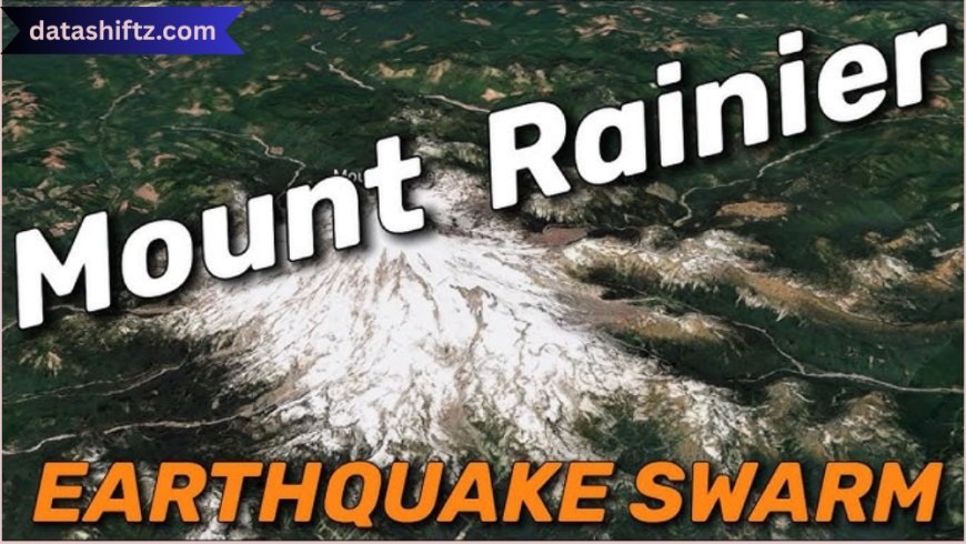
Mount Rainier Earthquakes: Understanding the Seismic Risks of a Sleeping Giant
Introduction
Mount Rainier, a towering stratovolcano in Washington State, is known for its snow-capped beauty, hiking trails, and iconic presence in the Pacific Northwest. But beneath its serene surface lies a potential danger—earthquakes. As part of the Cascade Volcanic Arc, Mount Rainier is not just a volcanic structure but a region of ongoing seismic activity. Though it hasn’t erupted in centuries, the surrounding area is frequently shaken by small to moderate earthquakes that signal active geological processes deep underground.
In this article, we explore the nature, causes, and implications of Mount Rainier earthquakes, including recent activity, risk assessments, preparedness strategies, and scientific insights. These tremors might not make daily headlines, but they play a crucial role in understanding the mountain’s behavior—and its potential threats.
Seismic Activity at Mount Rainier
Why Earthquakes Happen Here
Mount Rainier sits atop a complex network of faults and magma chambers, formed by the subduction of the Juan de Fuca Plate beneath the North American Plate. This tectonic collision is responsible for the creation of the entire Cascade Range and its accompanying volcanic and seismic activity.
Unlike tectonic earthquakes, many quakes around Mount Rainier are volcano-tectonic (VT) earthquakes, caused by the movement of magma or hydrothermal fluids within the volcano. These are usually small but can be a precursor to volcanic unrest.
Types of Earthquakes at Mount Rainier
| Earthquake Type | Description | Typical Magnitude |
|---|---|---|
| Volcano-Tectonic (VT) | Caused by rock fracturing due to magma movement | 0.5 – 2.5 |
| Long Period (LP) | Associated with fluid or gas movement | 0.5 – 1.5 |
| Tectonic Earthquakes | Caused by regional fault movements | 1.0 – 4.5 |
| Hybrid Earthquakes | Contain characteristics of both VT and LP | 0.5 – 3.0 |
Recent Earthquake Events and Monitoring Efforts
A Seismically Active Zone
Mount Rainier is not experiencing large earthquakes daily, but it’s far from quiet. The Pacific Northwest Seismic Network (PNSN) and the U.S. Geological Survey (USGS) continuously monitor the region using seismometers and GPS stations.
In 2023 and early 2024, several swarms of small earthquakes were detected near Mount Rainier's summit and flanks. While most were below magnitude 2.5, their frequency raised public and scientific interest.
Notable Earthquake Swarms Around Mount Rainier (Past 5 Years)
-
June 2020 – Over 30 microquakes recorded in 48 hours near the summit.
-
October 2021 – 2.6 magnitude quake felt lightly in Ashford, WA.
-
March 2023 – Shallow swarm of 15+ quakes on the southeast flank.
-
January 2024 – Volcanic tremor observed, but no surface activity followed.
These events have not led to eruptions, but they offer valuable data on how the volcano is behaving beneath the surface.
Sample Earthquake Data from Mount Rainier Region (2020–2024)
| Date | Magnitude | Location (Approx.) | Depth (km) | Type | Notes |
|---|---|---|---|---|---|
| 06/14/2020 | 1.8 | Summit area | 3.2 | VT | Part of 2-day swarm |
| 10/03/2021 | 2.6 | South flank | 5.5 | Tectonic | Felt in nearby towns |
| 03/09/2023 | 1.9 | Southeast flank | 2.0 | VT | Associated with minor tremor |
| 01/11/2024 | 1.4 | Below crater rim | 1.8 | LP | Monitored for changes in gas output |
Potential Risks and Preparedness
What Could Happen?
Although Mount Rainier’s earthquakes are often small, the risk is not negligible. A major tectonic earthquake or volcanic eruption could trigger lahars (volcanic mudflows), which are considered the most serious threat due to their potential to affect populated river valleys such as Puyallup and Nisqually.
Mount Rainier's extensive glacier coverage adds to the danger—heat from volcanic activity or landslides could rapidly melt ice, triggering catastrophic lahars even without an eruption.
Major Hazards Linked to Earthquakes at Mount Rainier
-
Lahars
-
Rapidly moving volcanic mudflows that can travel dozens of miles.
-
-
Rockfalls and Avalanches
-
Triggered by shallow quakes destabilizing glacier-covered slopes.
-
-
Hydrothermal Explosions
-
Gas buildup can cause sudden, localized blasts.
-
-
Ground Shaking in Nearby Communities
-
Even small quakes may be felt in towns like Enumclaw or Ashford.
-
-
Increased Volcanic Unrest
-
Earthquake swarms may precede changes in volcanic behavior.
-
Emergency Preparedness and Monitoring Systems
Local and federal agencies have comprehensive monitoring and evacuation plans in place. The USGS Cascades Volcano Observatory (CVO) works with the Washington Emergency Management Division to issue warnings and develop public safety strategies.
Mount Rainier Preparedness Infrastructure
| System/Organization | Purpose | Coverage Area |
|---|---|---|
| Pacific Northwest Seismic Network | Real-time earthquake monitoring | Washington and Oregon |
| USGS CVO | Volcano and gas monitoring, risk assessment | Cascade Range |
| Lahar Warning Sirens | Audible alert system for rapid evacuations | Puyallup River Valley |
| ShakeAlert System | Early warning for significant earthquakes | West Coast of the U.S. |
| Mount Rainier National Park Alerts | Public updates and hazard notifications | Within park boundaries |
Conclusion
Mount Rainier is a breathtaking and beloved natural landmark, but it's also a living, breathing geological entity. While the earthquakes that occur beneath and around the volcano are mostly small and non-threatening, they are crucial signals of deeper processes that could one day lead to significant events.
Understanding the frequency, type, and impact of these earthquakes is not only essential for scientists but also for communities living in the volcano’s shadow. With robust monitoring systems, improved public awareness, and strategic emergency planning, the region is becoming increasingly prepared to face any potential hazards that Mount Rainier may present.
Staying informed, prepared, and connected with real-time data is the best way to appreciate the beauty of this natural wonder—safely and responsibly.